


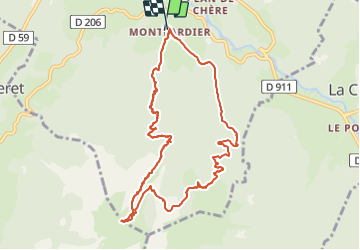

10.5 km | 18.5 km-effort

User


FREE GPS app for hiking
 SityTrail
IGN / Geographical institutes
SityTrail World
The world is yours!
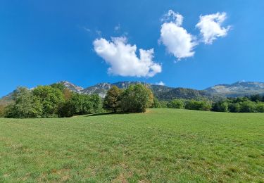
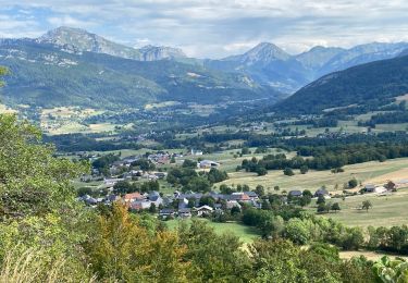
Trail Touring skiing of 10.6 km to be discovered at Auvergne-Rhône-Alpes, Savoy, Le Châtelard. This trail is proposed by nadd73.
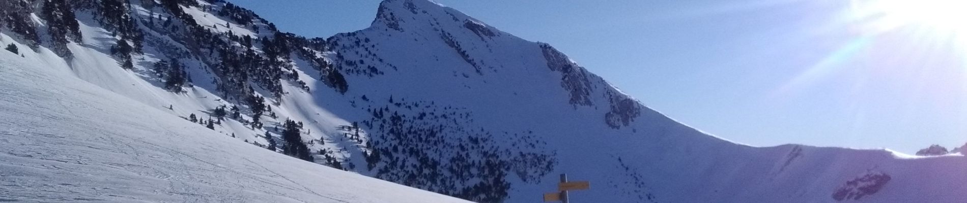
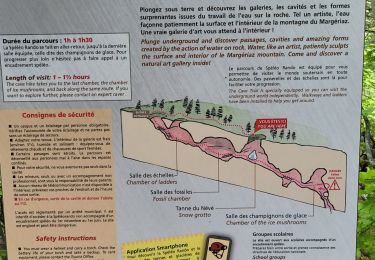
Départ de Montlardier. Galère à la montée car beaucoup d'arbres et pour contourner les barres en haut. Heureusement qu'à la descente j'ai eu de la poudreuse et c'était plus aéré.


Walking

Walking

Walking
Walking
Walking
Walking
Walking
Walking
Walking